Day 39
Sunday 13th September
Once again listening to my gut instinct was a good call, as it turned out that there wasn’t only one pass to tackle. There were four in total, one after the other.
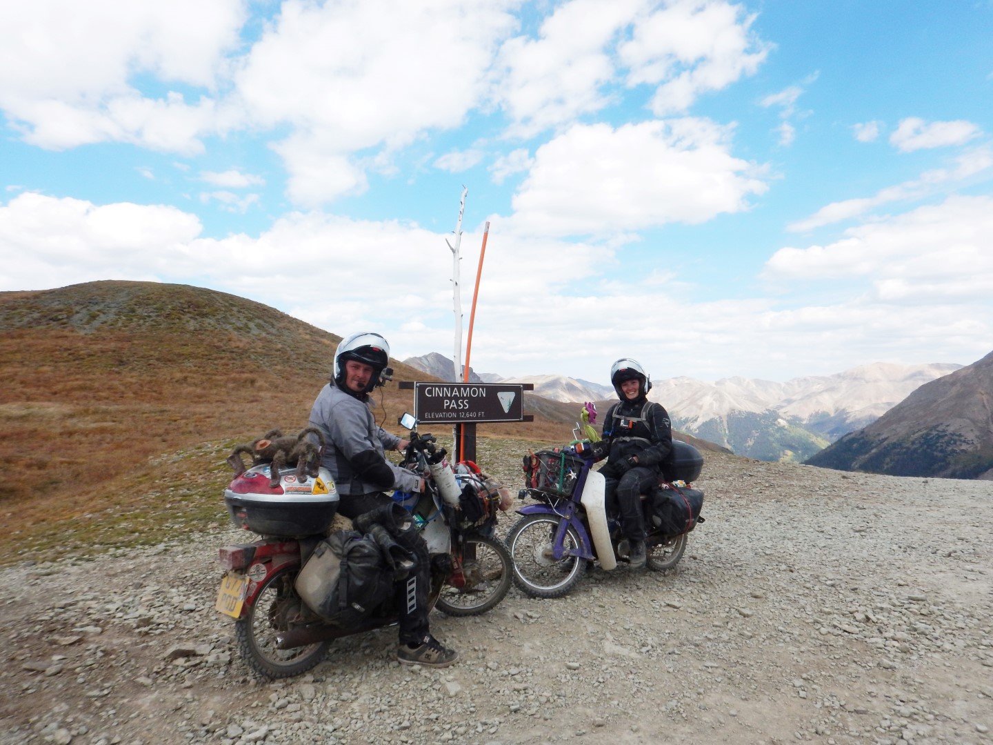
The first was Cinnamon Pass, which saw us climbing up lots of moderately steep switchbacks.
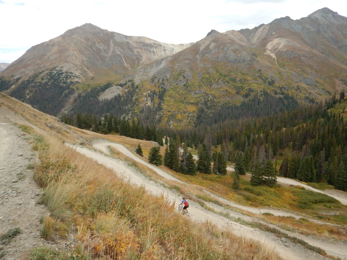
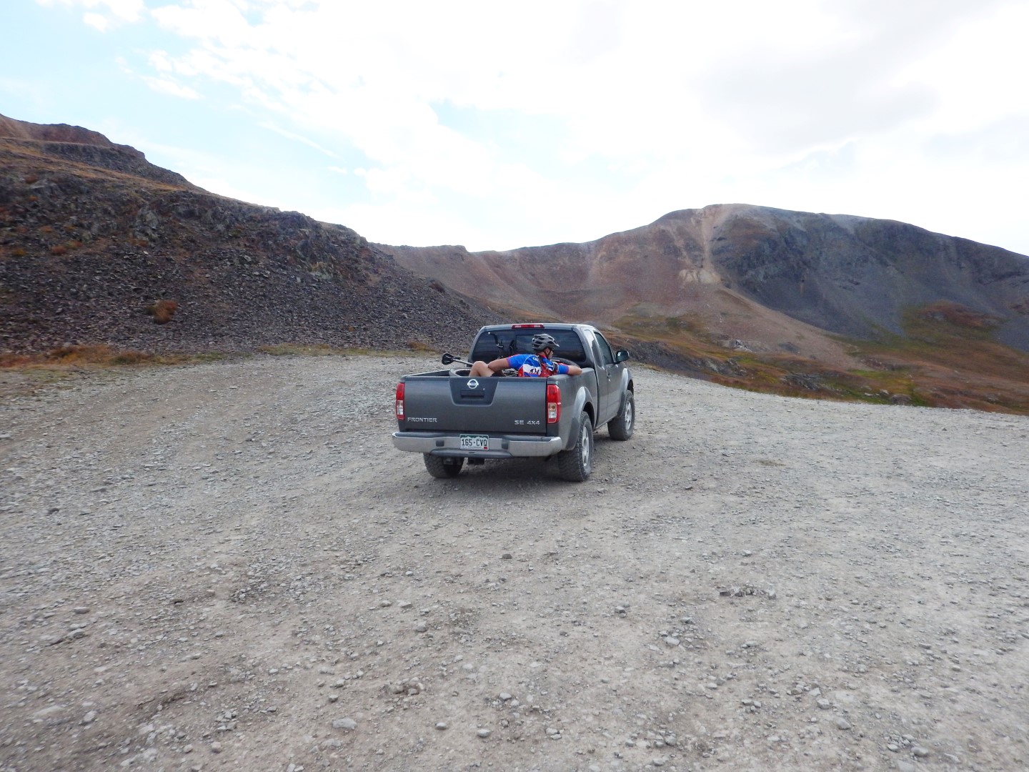
We rode past a cyclist who was having a hell of a time getting up them, and after stopping and cheering him on we were left amused when he later went flying past us in the back of a pick up truck! I can’t blame him, I’d have done the same.
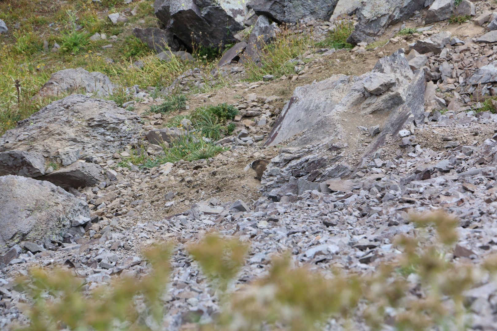
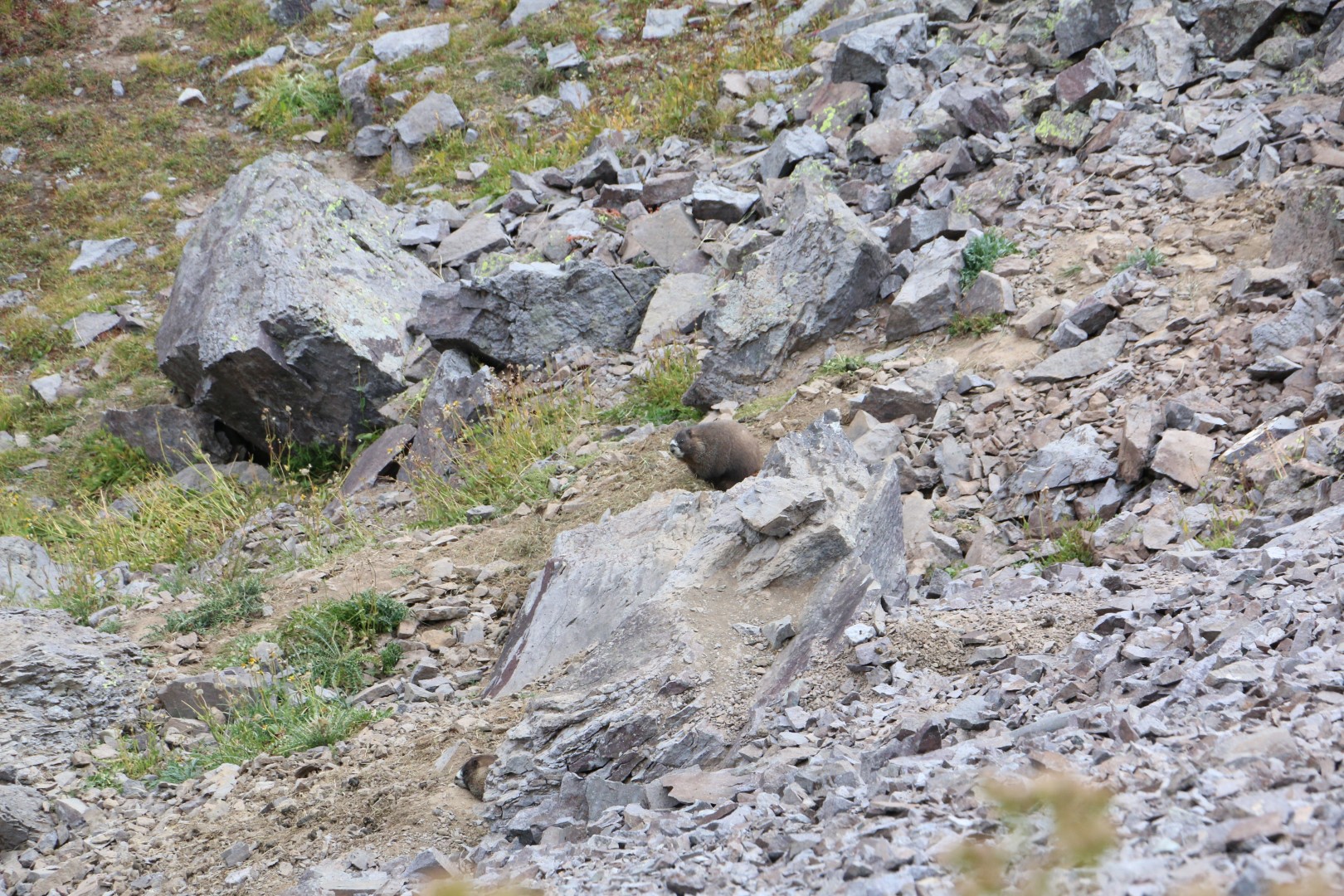
There were really beautiful views, and we also spotted what we think were mountain beavers bounding down the side of the mountain. (They looked like beavers and were on a mountain, thus the conclusion of mountain beavers)
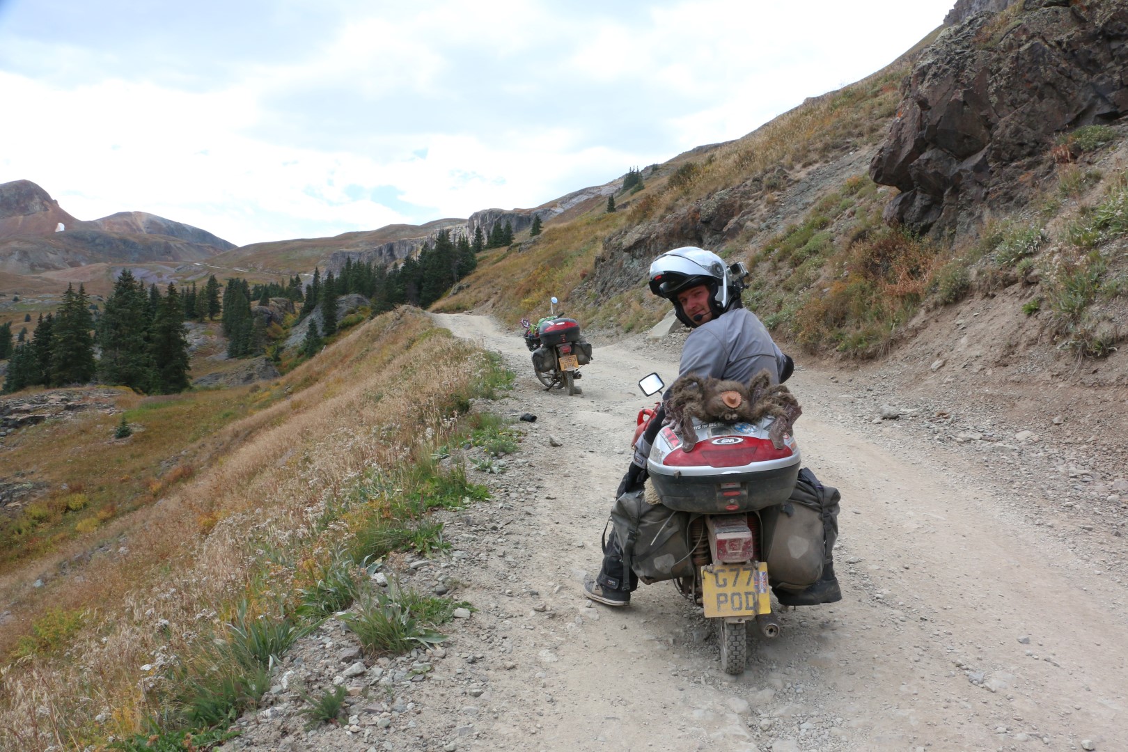
It was quite chilly at the top, and after a few quick photos we made our way back down the other side, which was quite rocky but not too steep. We even managed to overtake a couple of dirt bike riders on the way down, but they soon overtook us again as I had to stop to retrieve the contents of my basket after hitting a particularly big rock!

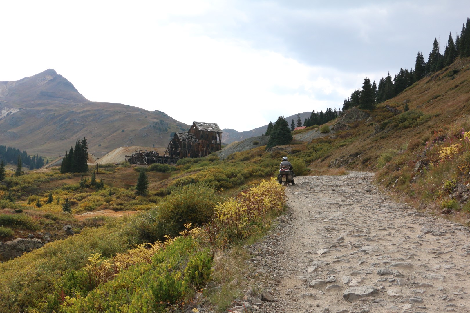
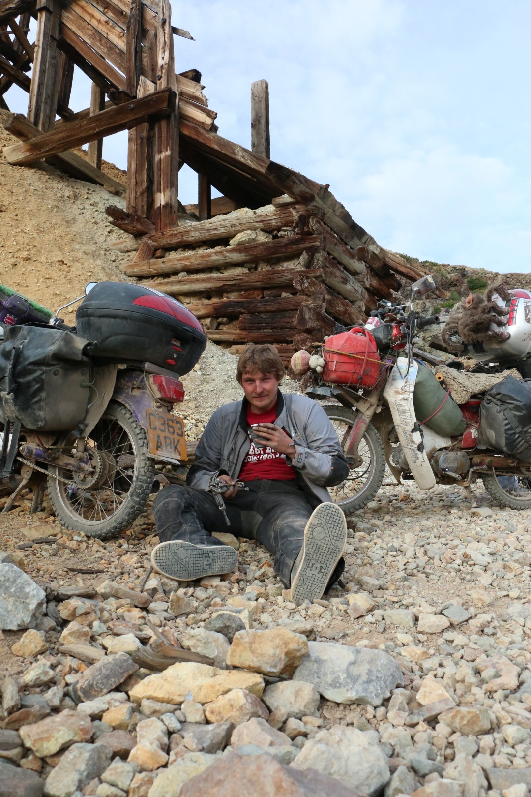
At the bottom we stopped at a ghost town called Animas forks which was quite cool. The towns first log cabin was built in 1873, and by 1876 the community had become a bustling mining community.
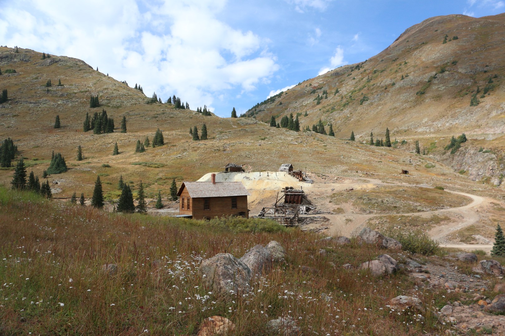
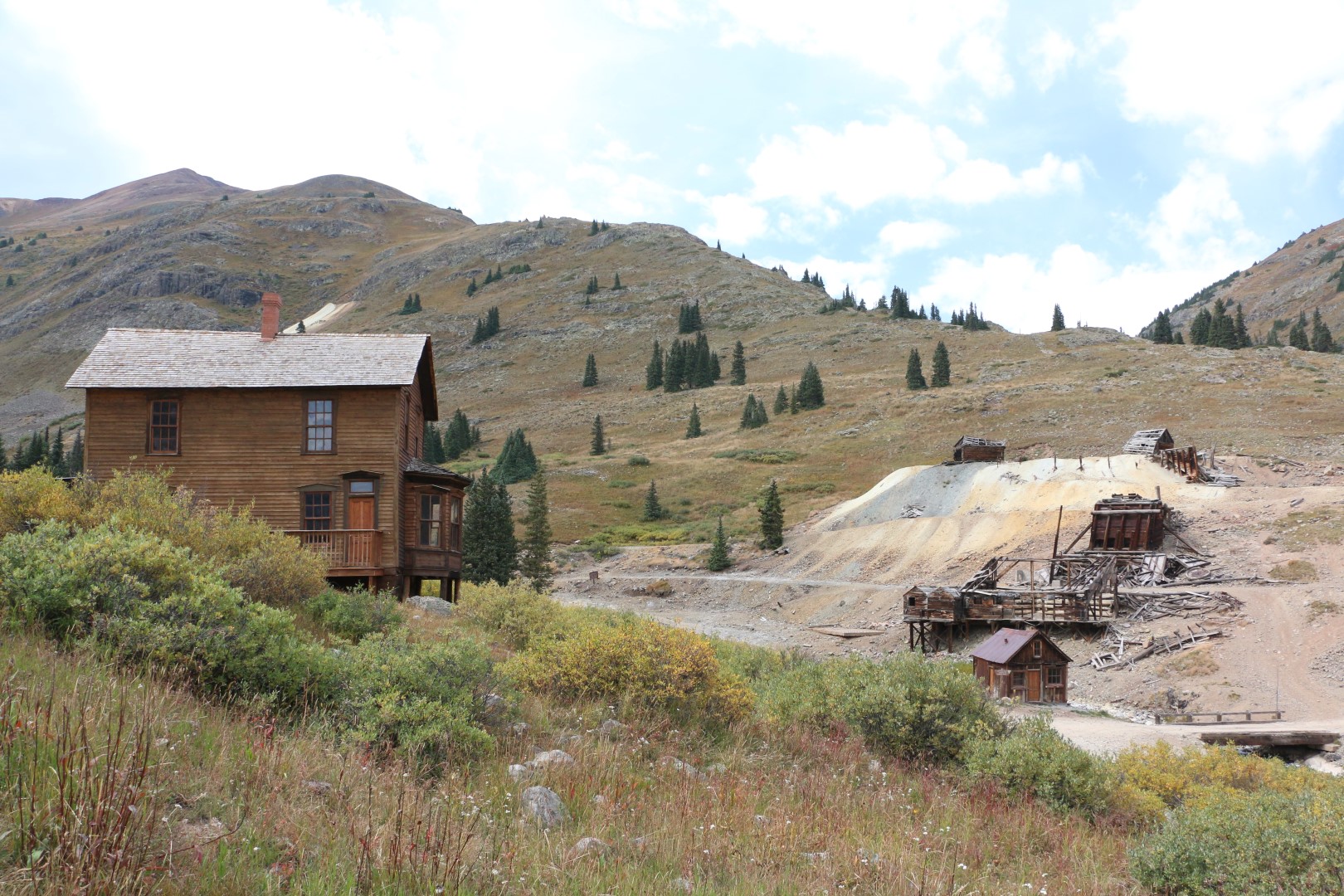
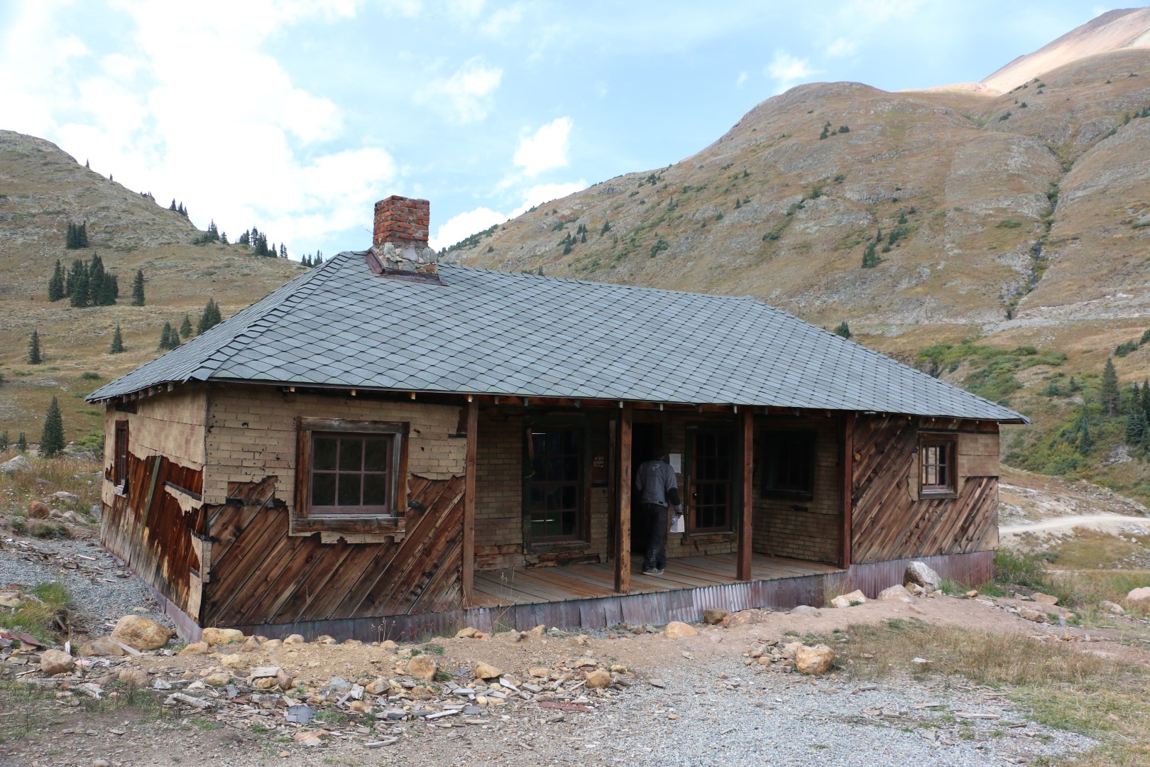
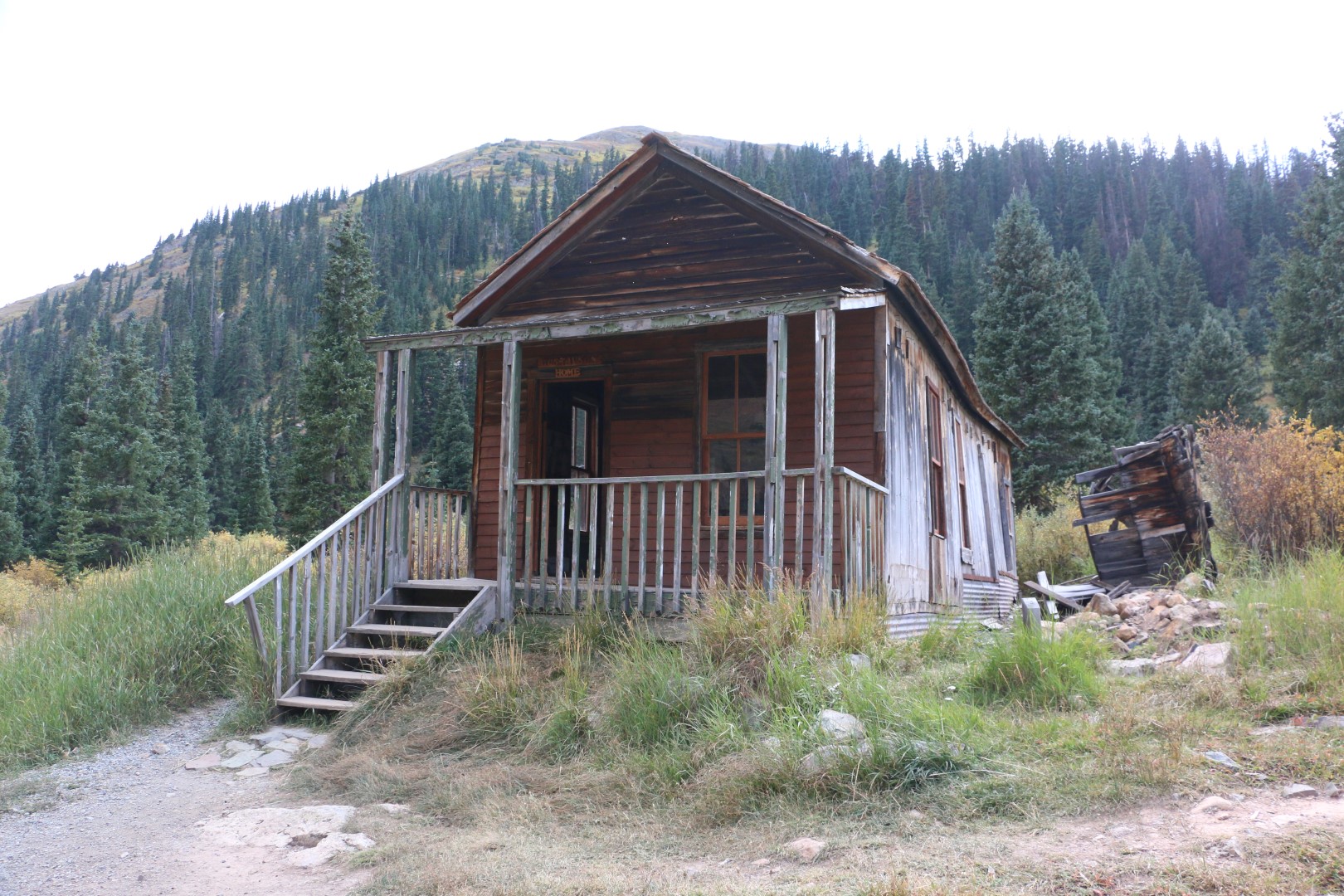
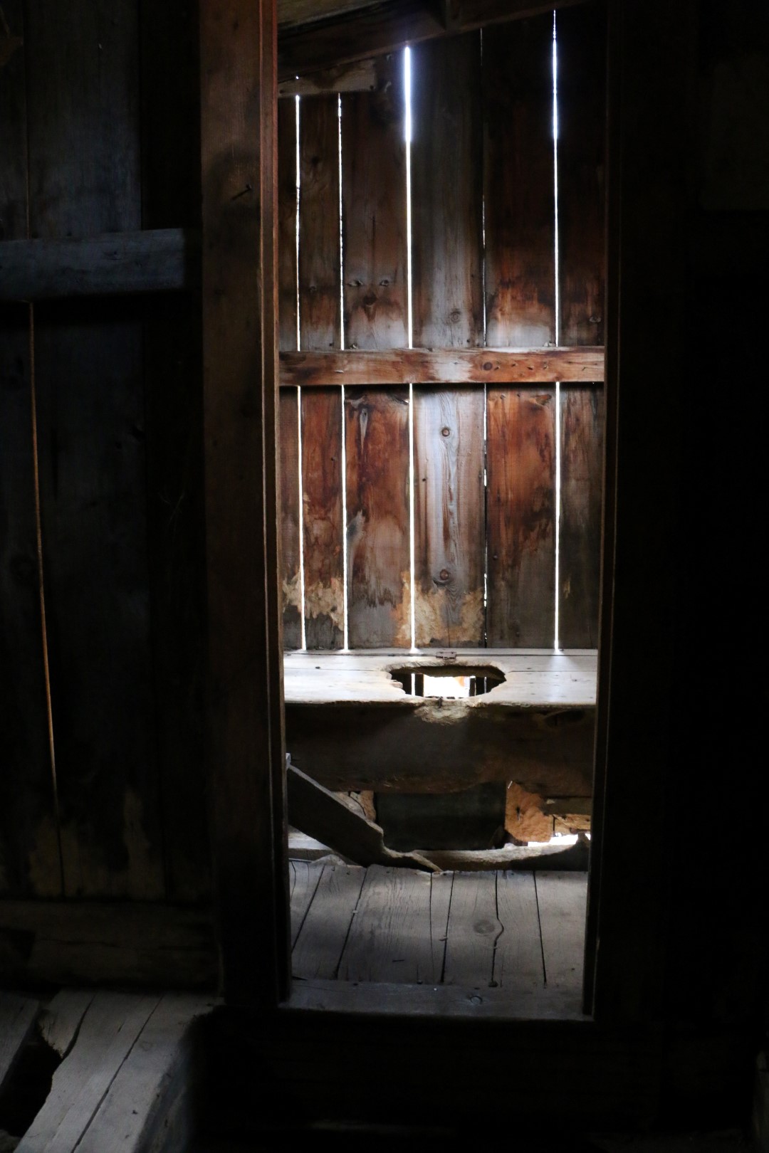
You could wander freely round the buildings but they were unfortunately all empty. I was quite looking forward to seeing some old random paraphernalia that was left behind but there was nothing of the sort, which I guess was unsurprising considering their age and the brutal weather that must go through there in the winter. Still, it was quite cool to see a little slice of history.


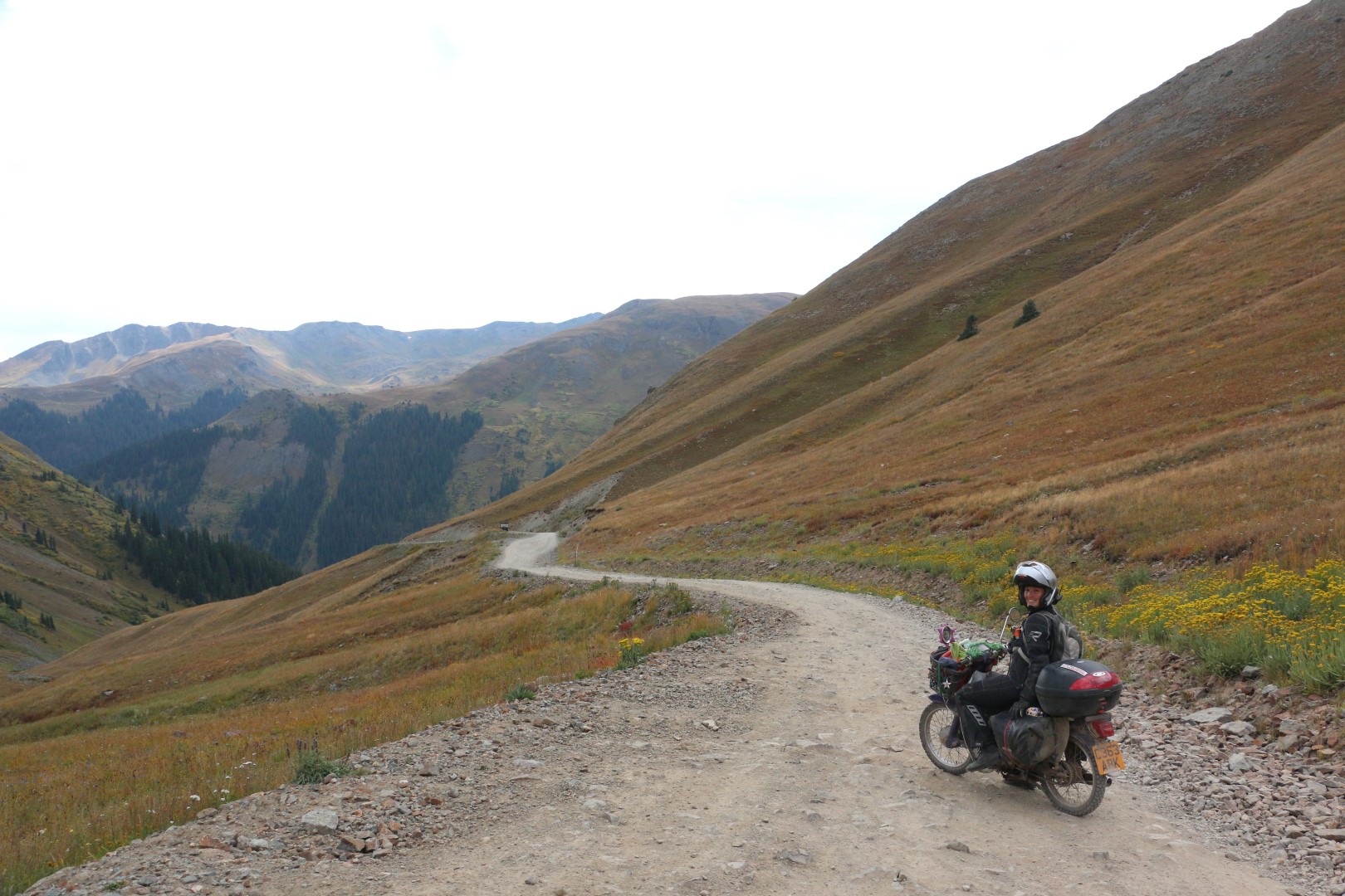
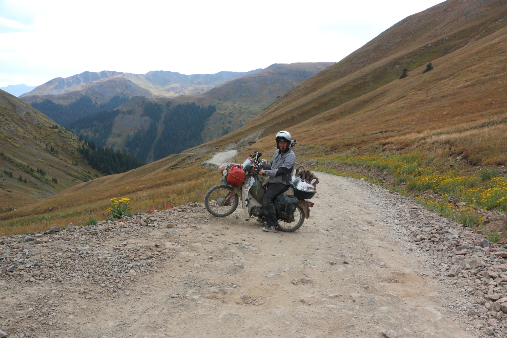
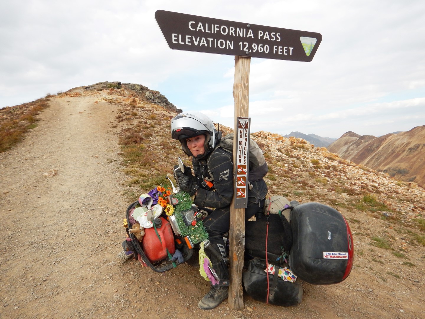
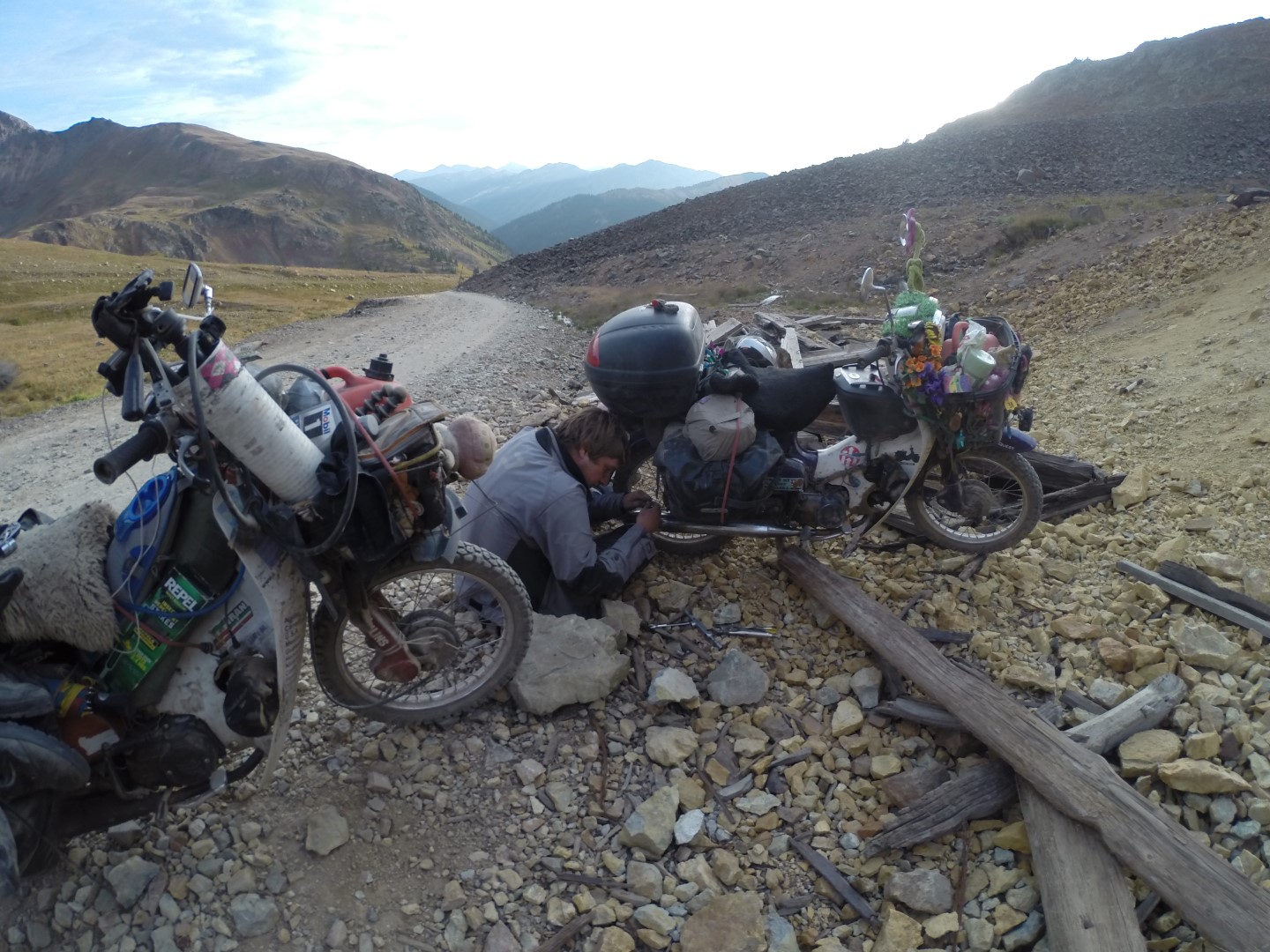
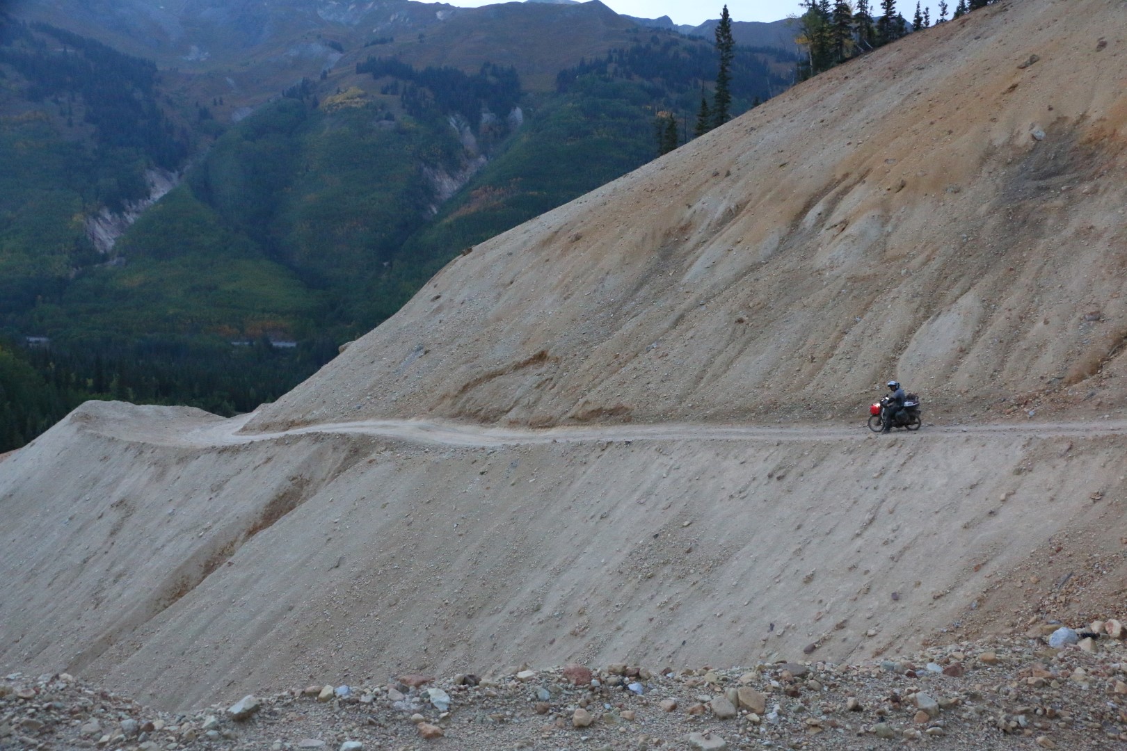
Before we knew it we were going up another pass, but this time it was even higher. We climbed our way up but it got steeper and steeper, so much so that I had to paddle my bike up it before it died halfway and I started rolling backwards.
We moved the needle two positions but for some reason it kept dying, so we moved it back one and it fired right up. I still only managed to get up it by zigzagging though, and Ed had to do the same but didn’t need to touch his carb.
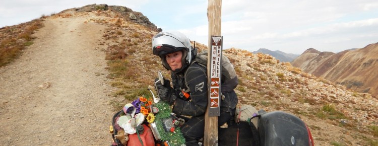
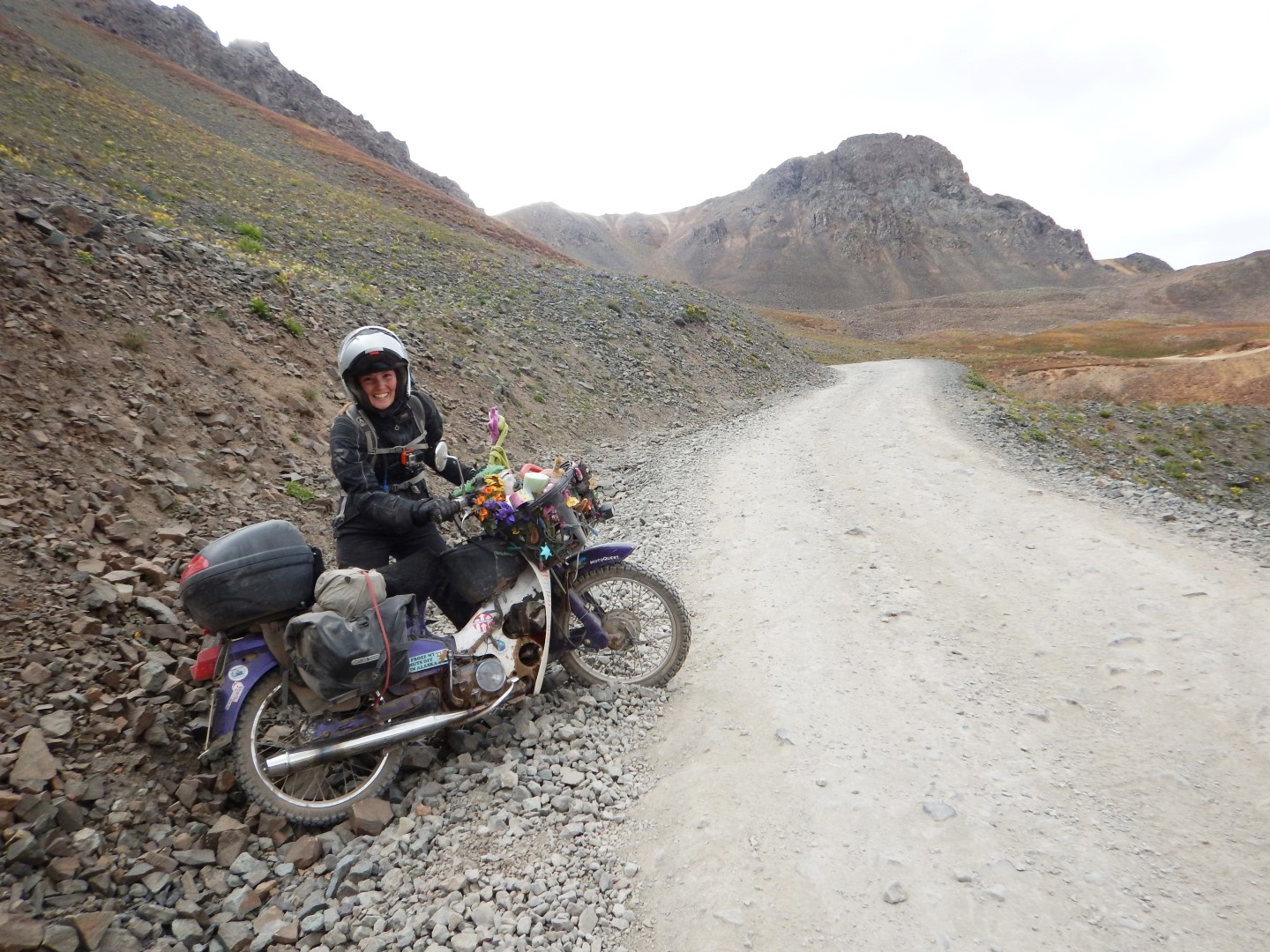
We finally made it to the top and I went to pose by the California pass sign, but I misjudged the slope and my bike fell on me, pinning me between the pole and my centre camera box. Ed found this hilarious, and I was left in a compromised position until he’d finished taking videos and photos and came to my rescue.
It was absolutely stunning scenery at the top and on the way down, as the road ran down and round a beautiful blue lake at the bottom. It really was something else.
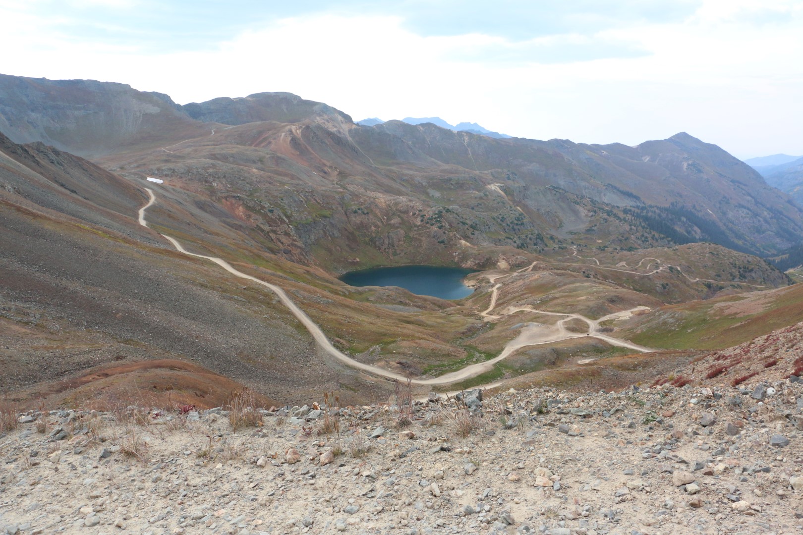
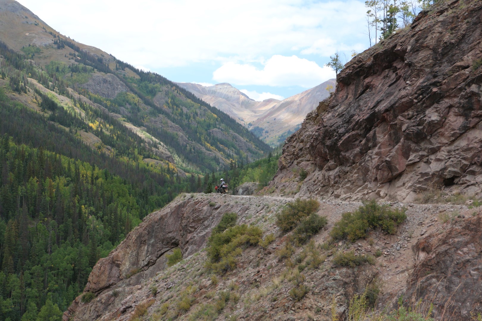
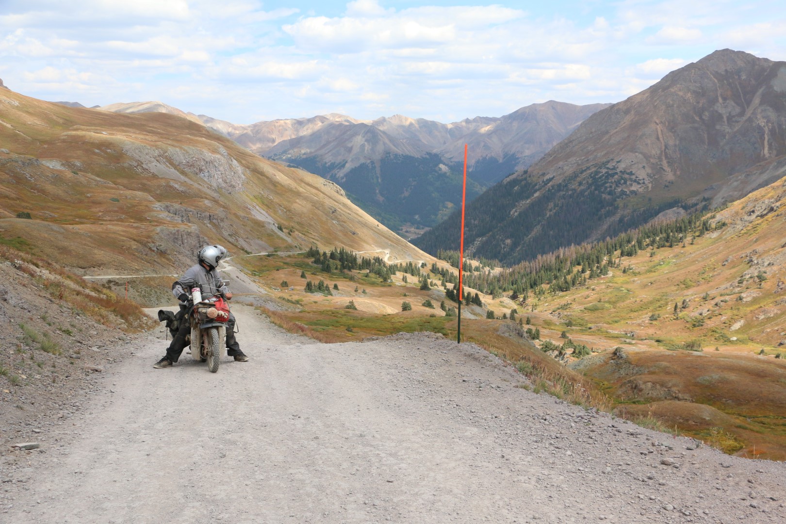
It was fairly steep but nothing too bad, and we rode round the lake and started making our way up the next pass; Hurricane Pass.
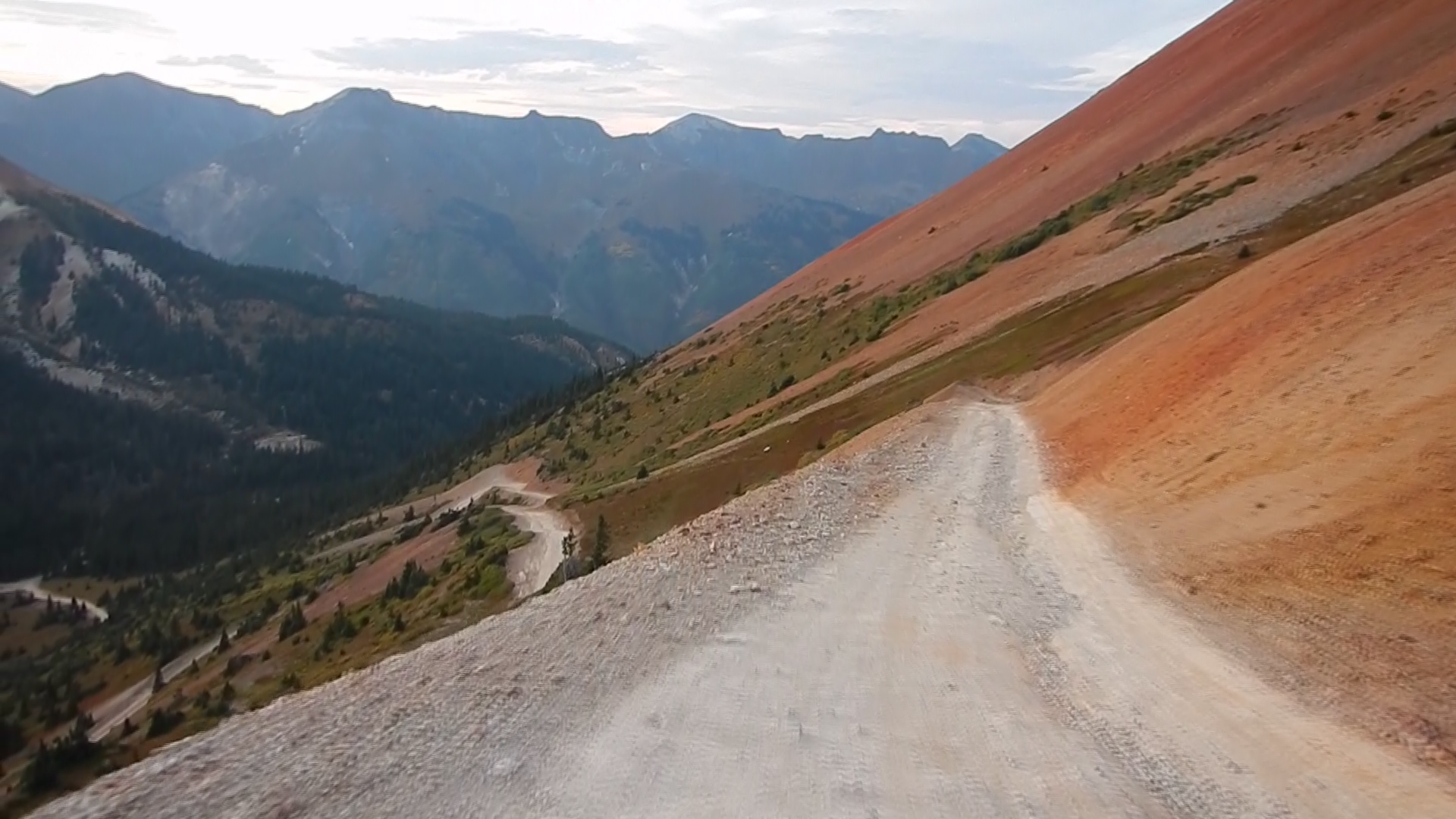
I’d been having intermittent problems with my rear brake all day, as it kept getting stuck on or would barely work at all on the steep descents. I’d just been lifting it with my heel to unlock it, but that trick finally stopped working on the way down Hurricane pass. It was quite steep and the rear brake kept locking up causing me to crash (and Ed at one point as he tried to stop to help), as the rear wheel locked up and slid out on the gravel. This happened several times, but it was on a really steep rocky bit that I finally called it a day. I was gathering too much speed and engine braking just wasn’t enough to slow me down, and I just couldn’t do it and lost my confidence and binned it. I couldn’t continue without proper brakes, it was impossible. You’d have to be a Dakar rider with balls of steel to ride down steep rocky descents with no brakes (and an idiot I hear you say say), and I’m merely a C90 rider with a vagina (who’s a bit of an idiot I hear you say).
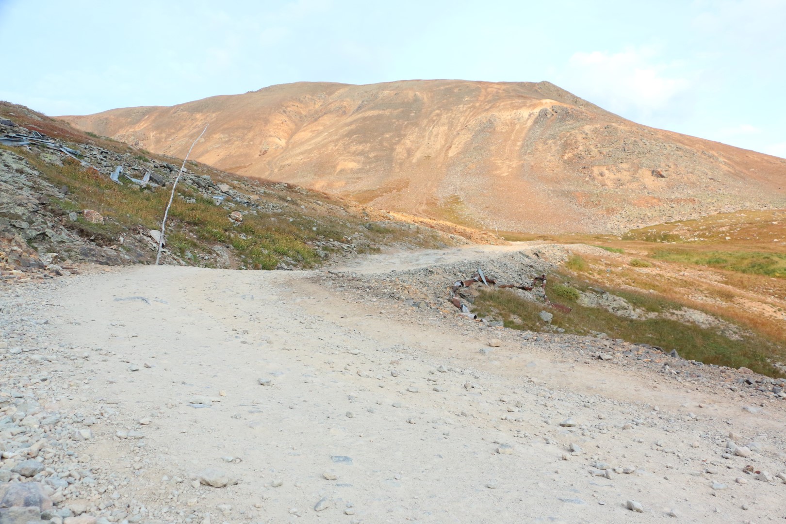
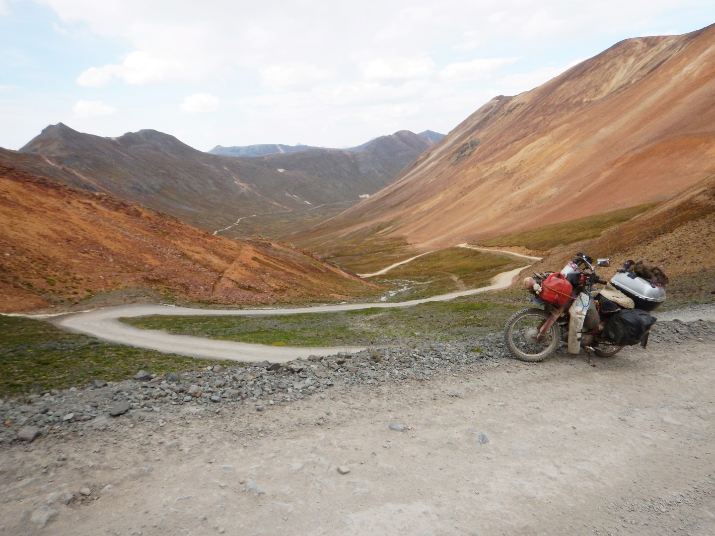
The steep rocky bit at the top that doesn’t look that steep and rocky in a photo but it was, promise!
We decided to swap the front and rear brake shoes over as the rear ones were worn and the front ones were fairly new, and I didn’t need a front brake as much as a rear brake. After half an hour of tinkering I had my rear brake and confidence back, and we finally got on our way.
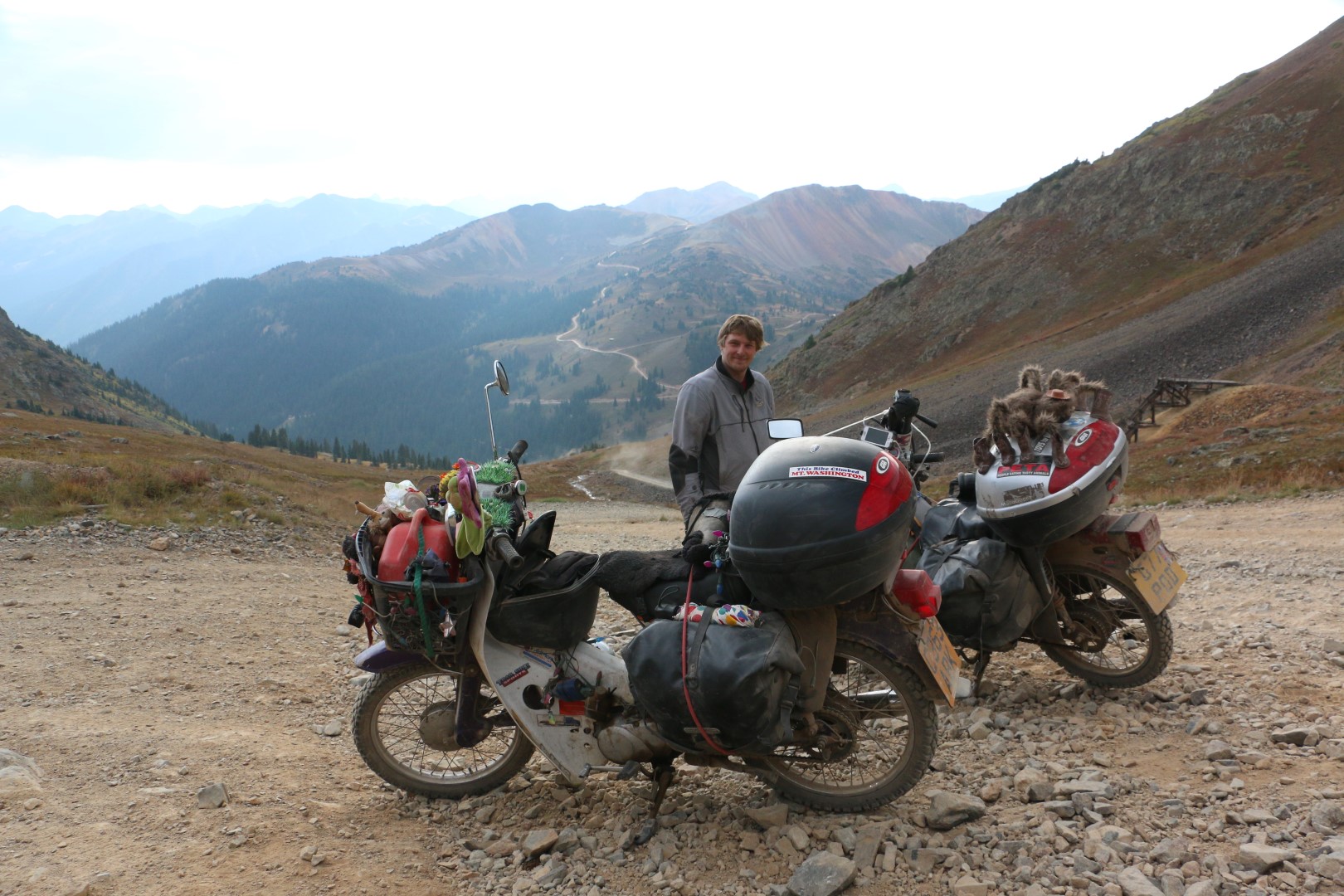
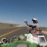
Thirsty work
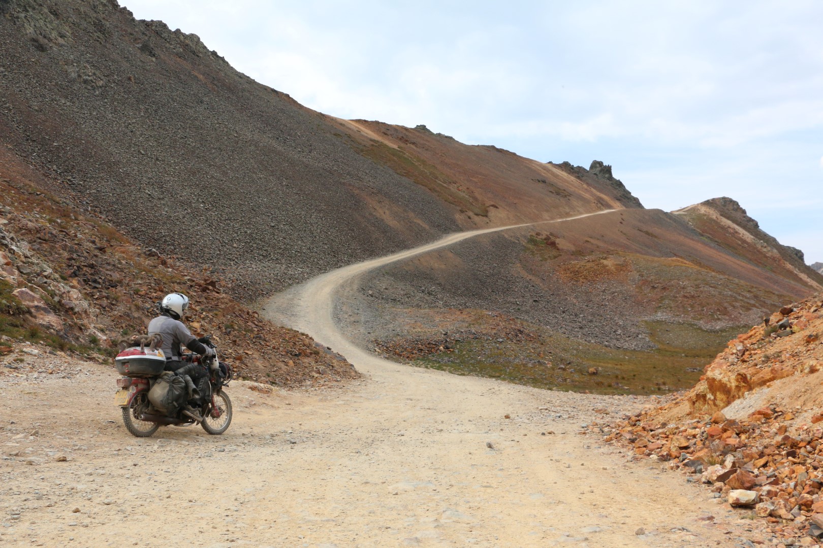
It was so much better, obviously, but due to the delay the light was starting to drop and we still had another pass to go, so we whizzed down the rest of Hurricane Pass and started climbing up the next one; Corkscrew Pass.
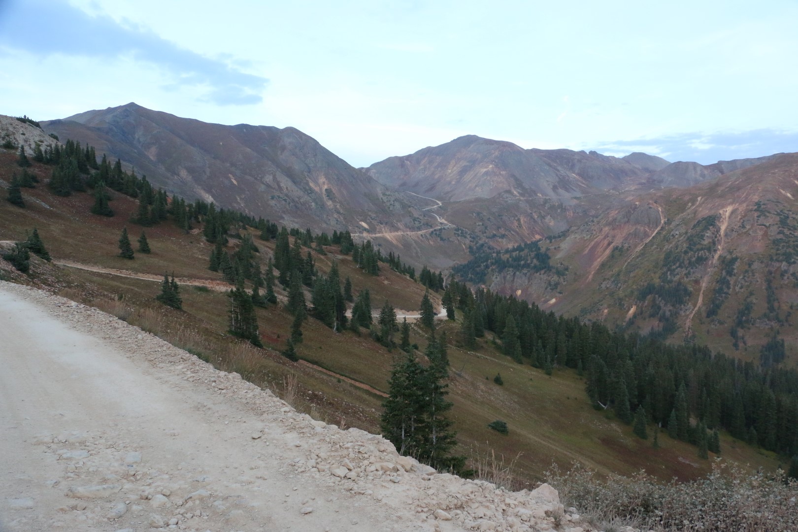
It was quite steep and higher but it wasn’t rocky, and we just about managed it with some paddling and zigzagging. We were treated to some absolutely stunning scenery, the best so far on the trail, as we were surrounded by red rock and the yellows and greens of the turning leaves provided a beautiful contrast. It was a shame it was getting dark as I imagined it would be beautiful in the sunshine, that’s when the colours really come to life.
The road down was quite steep and there were a few sharp switchbacks, but we got down it successfully and soon entered the forest.
There were lots of undulating mud mounds which were quite fun to ride on, but as we came to a creek crossing I managed to fall off. I’d spotted two massive rocks and thought ‘I don’t want to hit those’, and managed to ride straight towards them and crashed in a heap. It was rather funny and Ed couldn’t quite believe that I’d hit the only two big rocks there, but I got up in one piece and we continued on and down until we got to the main road called The Million Dollar Highway.
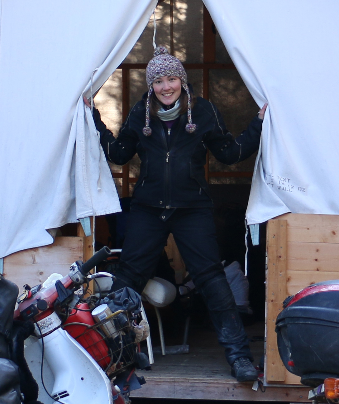
We decided to ride down to the town of Ouray, and even though it was dark it looked really spectacular with the silhouettes of the mountains all around. It looked like a european ski village as we approached, with all the buildings and lights down the streets. We later found out that it was nicknamed ‘Little Switzerland’, and I could easily see where they were coming from, at least at night. We went to a recommended restaurant and treated ourselves to a drink, which we both were in need of after all the mountain passes we’d conquered. Some days you just need a nice cold beer (or stout in my case), and today was one of those days. We soon discovered that the food was way out of our price range, so headed to a cheaper place for a burger and fries to soak up the booze that had gone straight to our heads. We also discovered that rooms were expensive too, and decided to camp in a national forest just up the hill from the town. There was a brilliant view over the town with all the lights, and needless to say we slept like logs that night.
Hehehe, I did the million dollar highway back in May I think. It was flippin freeeeezing. 😀 Everyone I had spoken to recommended that I checked out the hot spings in Ouray, but i was numb to my whatsimecallits last thing I wanted to do was undress.
As for the mountain beavers… sounds like you made a new discovery! 😀
I am happy to know that you are a stout(beer not fat!) person too. I love stout; I don’t even know why the other kinds of beer exist! 🙂
OK Rachel those mountain Beavers are called Marmots, or as the locals call them squeal pigs